Description
Magnet Field
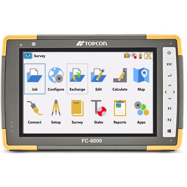
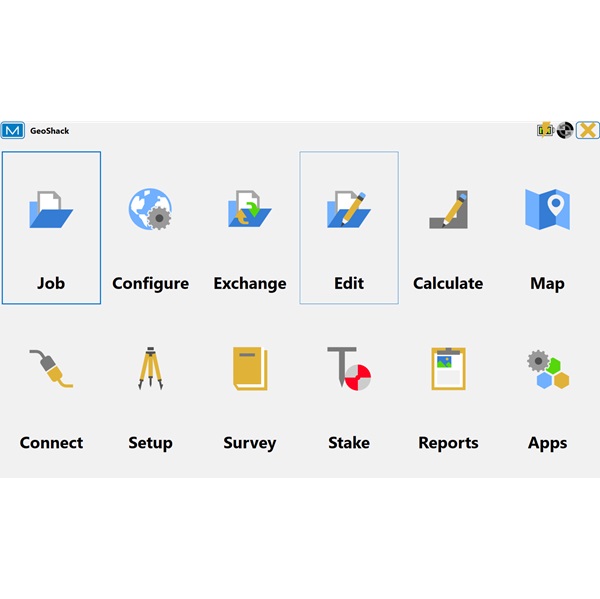
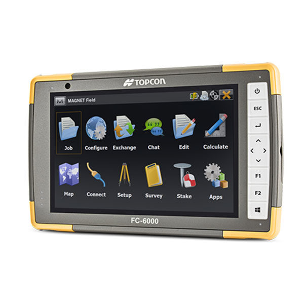
A powerful and intuitive field application software that enables you to collect survey mapping data and perform construction and road layout using total stations, levels, and GNSS receivers. It integrates seamlessly with other Topcon products and is compatible with more than 50 industry-standard formats, making it a valuable tool for professionals in various sectors. For example, surveyors and construction professionals use MAGNET Field to accurately measure and map land, buildings, and other structures.
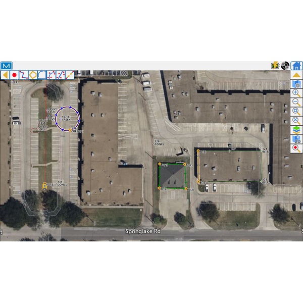
It is easy to use. Perform topographic and layout operations with a supportive Microsoft Bing Maps satellite image background. Carry your custom CAD standards to the field with a single screen tap; the software will instantly draw three-dimensional linework and symbols.
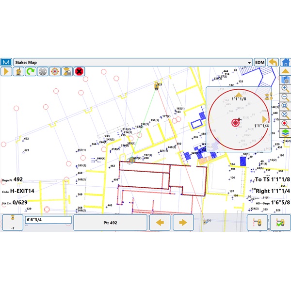
Control your GNSS rover to collect points and measurements, layout or stake job sites, and verify as-built conditions. This data is then available for digital terrain models, contour and surface comparison calculations, and to determine cut and fill volumes.
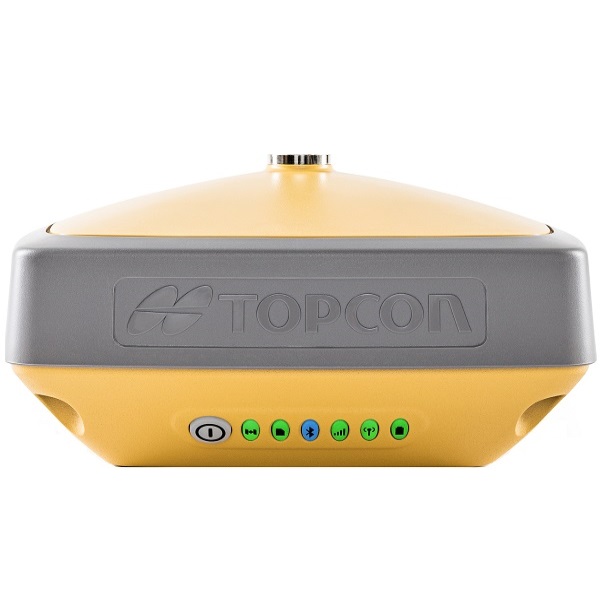
Turn your compatible Windows or Android tablet into a field controller for Topcon GPS receivers, robotic total stations, scanning robotic total stations, and digital levels.
MAGNET Enterprise allows secure project information sharing, including geo-referenced data maps, redline models, and visual stakeout progress. Quickly collaborate with team members to share or convert file types compatible with MAGNET Office, Sitelink3D, Autodesk, and Bentley. Enterprise is included with MAGNET software subscriptions.
Discover MAGNET Field features and benefits.
- Intuitive user interface
- Advanced roading toolset
- Vast library of Import / Export file formats
- Calculate, contour, and compare surfaces
- Surface staking with automatic Digital Terrain Model creation
- Colorized cut and fill indicators, as well as volume calculations
- Direct connectivity to your private Company Account for easy data exchange and quick chat
- Microsoft Bing Maps? for real-time images behind your points, lines, and imported design files

