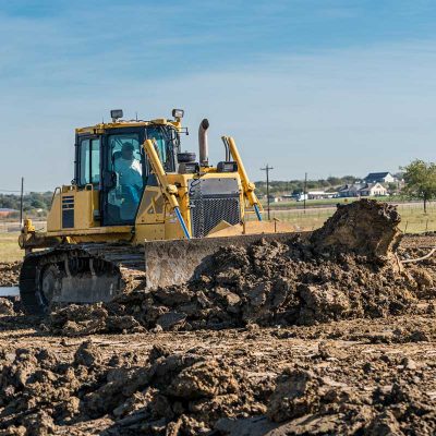
GeoShack offers the industry’s broadest range of products and services designed to help take the grading facet of your operation to the next level. Solutions which draw upon the strengths of machine automation and enhance them with web-based services, yield one, highly-efficient, grading operation. Speed, accuracy, and production are not mutually-exclusive terms. With grading solutions from GeoShack, you can have it all.
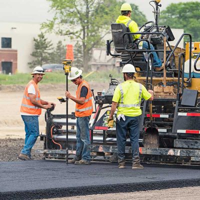
Paving is an unforgiving business. Work with GeoShack precision, and they’ll be cheering instead. Whether you use sonic control in 2D or Millimeter GPS in 3D, Topcon invented them both and continues to lead with solutions that allow you to configure your paver for each job, and you will always get incredible accuracy. Profiling and Milling Systems bring a trusted solution to your machines. Layer for layer the top gets peeled off. Horizontal and vertical alignments as well profiles come out exactly as they should.
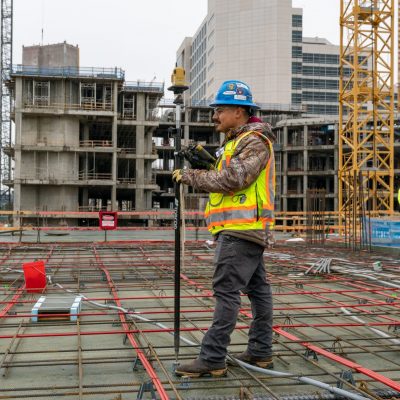
We’ve been part of your industry for decades, and we listen. Knowledge is power… every crew member and machine on site can do more with the visibility and ease of use that GeoShack solutions provide. Get more done with less, and with reliable and accurate results. What we’ve learned allows us to provide real solutions for the work you do. GeoShack combines technology innovations to provide you with unparalleled speed and productivity gains. Start sooner, get to grade faster and eliminate re-work.
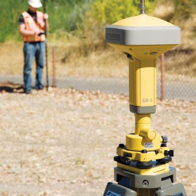
GeoShack’s geospatial solutions connect the field and the office in real time. Now you are part of the complete workflow solution, exchanging data and communicating with team members on the job and back in the office. From proposal to mapping, design to layout to inspection, our innovative technology is engineered to drive your productivity.

GeoShack brings efficiency and productivity to virtually every phase of the farming operation. Our track record in precision positioning technology helps you increase productivity, reduce inputs and maximize yield potential. The agricultural solutions from GeoShack address all seasons, crops, terrains and vehicles including tractors, applicators, and harvesters.
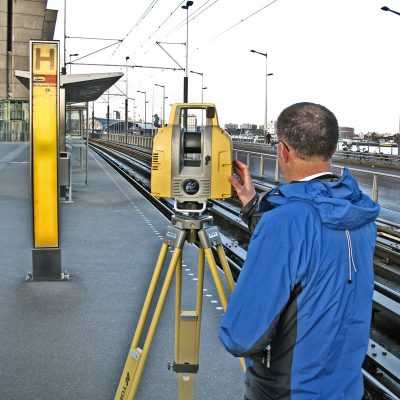
Our range of solutions in mass data capture opens the door to entirely new workflows. Capture data once, quickly, then interrogate the data at your leisure, on your own at your desk. From original topo to pre-construction inventories, to as-built documentation, our solutions deliver above and beyond the call. Capture reality. Our technology gives you the freedom to capture first and ask questions later.

Improve the way buildings, infrastructure, and utilities are planned, designed, built and managed today. Workflow is the most important factor for BIM users. That’s why we provide a complete solution tailored to your needs. Our workflows start by placing points in your model with Autodesk Point Layout and then sending those points to the Total Station or Layout Navigator in the field. Through the synergy between Autodesk authoring tools and Topcon’s software and hardware solutions, we provide the fastest and easiest way to accomplish BIM to Field.
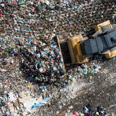
GeoShack’s suite of Landfill GPS grade control and density management products and services give every landfill the opportunity to implement cutting edge technology to improve operations and save time, resources, manpower & money. GeoShack Landfill’s approach applies cutting edge technology to ensure tight grade control for each lift of waste at your landfill. With GeoShack’s help, your operators will construct waste lifts on-grade the first time, every time.
Copyright © 2025– GeoShack. All rights reserved.