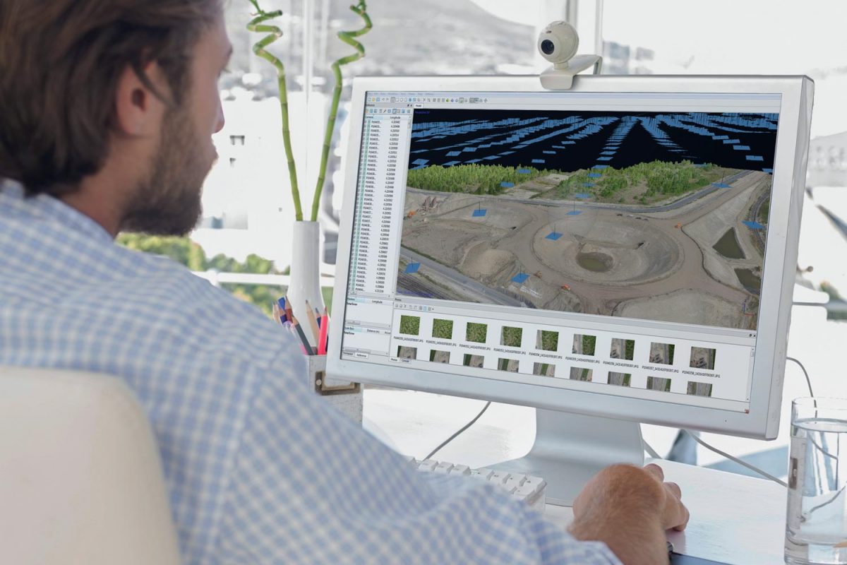
Meet the demands of modern construction processes even in the most challenging job sites. You can capture complete 3D information to describe the existing site and conditions both visually and geometrically with our laser scanning solutions. The GTL-1200 combines the power of a robotic total station with a best-in-class laser scanner to perform digital layout and capture high-res 3D scans in a single setup. Simplify the scanning process and dramatically reduce the need for post-processing by capturing scan data on survey control. The workflow seamlessly integrates with ClearEdge3D software for advanced construction QA workflows and as-builts.
Work more productively by streamlining a range of workflows, such as documenting jobsite as-built conditions, performing construction verification, and sharing point clouds online.
Raw reality data from the Topcon’s laser scanners can be taken directly into Autodesk ReCap 360 and ReCap 360 Pro at any stage of the point cloud process: registration, clean-up, indexing, segmentation and more. From there the reality data captured is ready for consumption in any Autodesk software solution such as AutoCAD, Revit, Inventor, Navisworks, Infraworks, and 3ds Max.
Through the synergy between Autodesk and Topcon software and hardware we provide the fastest and easiest way to accomplish Data Capture.

Collect the highest quality of data with our unique technological innovations. The LN-150 takes you from paper plans and tape measures into digital layout and construction verification workflows. With this easy to learn and use tool you can automate and execute layout and construction verification processes for increased productivity, consistent accuracy, and bottom-line cost savings from reduced labor hours and avoided mistakes leading to re-work. Built off the knowledge of over 80
years of innovation in optical technology, the LN-150 layout navigator was engineered for the specific indoor and outdoor positioning needs of contractors. A glass prism on a lightweight pole combines with a thin touchscreen tablet or a rugged controller so you can focus on the next step ahead. The layout navigator automatically remains locked firmly on the prism, for real-time positioning on the go. Built to perform on any project that demands confident, precise 3D positioning at up to a 130m working radius, the LN-150 is a uniquely user-friendly solution for your positioning needs.
The HiPer VR is a complete solution and versatile in many ways. It can be used for static or kinematic GNSS post-processed surveys, as a network RTK rover with the FC-6000’s internal 4G/LTE cellular modem, as a UHF/FH/Longlink job site RTK rover, and also in Topcon’s patented Hybrid Positioning workflow. Built lightweight but with strong aluminum alloy housing, the VR can take the punishment of a job site. No weak plastic units here. And, the unit is IP67 waterproof.
Topcon Tilt Technology incorporates a revolutionary 9-axis inertial measurement unit (IMU) and ultra-compact eCompass, which compensates up to 15 degrees of tilt and leads the market with the best tilt accuracy available. All satellites, and all constellations – in a compact, rugged design (GPS, GLONASS, Galileo, BDS, QZSS, SBAS, IRNSS)
Available PPP through Topcon’s Starpoint and SkyBridge. Take your RTK to the next level. By enabling Starpoint on your HiPer VR you can get 2-5 cm corrections without a base and without cellular connection anywhere in the world. Enabling Starpoint on your HiPer VR you can extend RTK corrections past the limit of your RTK network or local base station.
We provide the right solutions to improve accuracy and control, save time, and ultimately increase profits. Especially for Construction Management Firms and General Contractors that want to improve their workflow and the coordination of projects, teams, and data.
We can’t wait to show you what we can do for your business. Request your demo today.
Copyright © 2025– GeoShack. All rights reserved.