Description
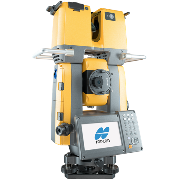
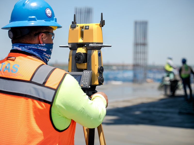
GTL-1200
Increase productivity by combining lidar scanning with robotics
Current construction industry estimates show rework and delays bring about 20% higher costs versus budget. Traditional spot-checking of completed work leaves verification gaps that result in significant cost overruns and lost profits.
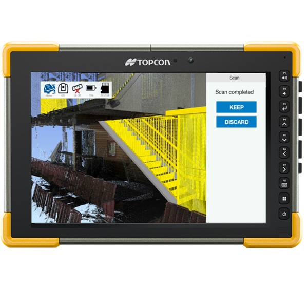
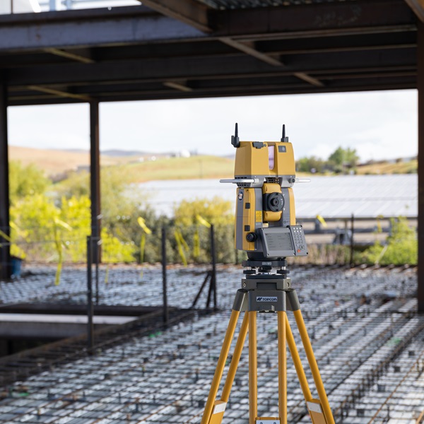
The GTL-1200 combines the power of a robotic total station with a best-in-class laser scanner to perform digital layout and capture high-res 3D scans in a single setup. Simplify the scanning process and dramatically reduce the need for post-processing by capturing scan data on survey control. The workflow seamlessly integrates with Topcon Field and College or use the College Site software for real-time advanced construction QA workflows and as-builts.
Work more productively by streamlining a range of workflows, such as documenting job site as-built conditions, performing construction verification, and sharing point clouds online.
Topcon scanning solutions help you work more productively, more efficiently, and keep teams better informed. Together with ClearEdge3D Verity, the simplified verification workflows cover a range of applications, including documenting job site as-built conditions and performing construction verification to ensure project accuracy is built 100% to plan.
Construction projects need skilled labor, which is in short supply these days. This situation accelerates the need for technology solutions that help workers become proficient and productive quickly. By digitizing layout, the ROI includes driving both experienced and new workers to a more productive solution with fewer errors.
Costs and workload increase when things are installed in the wrong place and when processes are not sequenced correctly. With our solutions, you can detect mistakes and quality issues early on to avoid costly rework. Build to plan 100% of the time. Use the latest reality capture technology to verify for better oversight and control of construction processes.
The Topcon real-time construction verification workflow offers complete scan versus BIM construction verification which is 10 times faster than traditional methods. It transforms spot-checking into a digital real-time reality capture solution to layout, scan, and verify every day. This provides digital reports with visual heat maps combined with numerical offset data for as-built confirmation.
About the floor flatness and levelness workflow
The GTL with Rithm software produces on-control results for every concrete slab analysis. Adding survey control when capturing 3D data eliminates tedious localization setups and significantly increases QA productivity.
Manual floor-flatness-analysis techniques like the Dipstick® require you to wait a day or more to get a single report and cost thousands. The GTL instrument with Rithm delivers accurate, industry-compliant FF/FL reports within minutes, far more cost-effectively.
Own your QA workflows
This end-to-end solution simplifies QA workflows so teams can perform the work entirely in-house. Reduce the need for third-party contractors; minimize scheduling problems, and deliver quality work on deadline.