- Design Smarter Civil Infrastructure
Autodesk Civil 3D
Comprehensive detailed design and documentation software for civil infrastructure
- Design Smarter Civil Infrastructure
Autodesk Civil 3D
software for civil infrastructure
- Integrated Design and Analysis
Detailed design & documentation software for civil infrastructure

Autodesk® Civil 3D® software is a civil engineering design and documentation solution that supports Building Information Modeling (BIM) workflows.
Using Civil 3D, infrastructure professionals can improve project delivery, maintain more consistent data and processes, and respond faster to design changes.

- Integrated Design and Analysis
Detailed design & documentation software for civil infrastructure
Autodesk® Civil 3D® software is a civil engineering design and documentation solution that supports Building Information Modeling (BIM) workflows.
Using Civil 3D, infrastructure professionals can improve project delivery, maintain more consistent data and processes, and respond faster to design changes.
- Key Features at a Glance
Powerful Tools for Civil Projects
Dynamic Corridors
Build and update road designs automatically.
Grading Optimization
Balance cut and fill for efficient site grading.
Pipe Networks
Layout and analyze storm and sanitary systems fast.
Surface Modeling
Create accurate terrains and volume reports.
Parcels & Alignments
Design plots and road alignments with precision.
Quantity Takeoff
Generate reliable material and cost estimates.
- Smarter Workflows
Streamline Road and Site Design

Civil 3D makes road and site design more efficient with dynamic modeling and automated updates.
Create corridors, profiles, and grading plans that adjust automatically when design changes occur. Produce accurate cross-sections and construction documents faster, reducing manual edits and rework. From concept to final plan sets, Civil 3D keeps your designs precise, coordinated, and ready for construction.

- Smarter Workflows
Streamline Road and Site Design
Civil 3D makes road and site design more efficient with dynamic modeling and automated updates.
Create corridors, profiles, and grading plans that adjust automatically when design changes occur. Produce accurate cross-sections and construction documents faster, reducing manual edits and rework. From concept to final plan sets, Civil 3D keeps your designs precise, coordinated, and ready for construction.
- Integrated GIS for Better Context
Connect Designs with GIS Data
Civil 3D lets you integrate real-world GIS data directly into your civil projects for more accurate planning and design.
Import and visualize geospatial data, link survey points, and align designs with existing utilities or municipal information. This seamless connection between design and location data helps you understand site conditions better and make more informed decisions from the start to project delivery.


- Real-Time Team Coordination
Manage Design Data Across Teams
Keep your entire team on the same page with Civil 3D’s cloud-based collaboration tools.
Share models and drawings securely, track changes, and coordinate tasks using Autodesk Docs and BIM Collaborate Pro. Teams can access up-to-date project data anytime, anywhere, reducing errors and costly rework. Improve communication, speed up reviews, and deliver projects faster by keeping everyone connected and informed throughout the design process.
- Integrated GIS for Better Context
Connect Designs with GIS Data

Civil 3D lets you integrate real-world GIS data directly into your civil projects for more accurate planning and design.
Import and visualize geospatial data, link survey points, and align designs with existing utilities or municipal information. This seamless connection between design and location data helps you understand site conditions better and make more informed decisions from the start to project delivery.
- Real-Time Team Coordination
Manage Design Data Across Teams

Keep your entire team on the same page with Civil 3D’s cloud-based collaboration tools.
Share models and drawings securely, track changes, and coordinate tasks using Autodesk Docs and BIM Collaborate Pro. Teams can access up-to-date project data anytime, anywhere, reducing errors and costly rework. Improve communication, speed up reviews, and deliver projects faster by keeping everyone connected and informed throughout the design process.
- Engineered to Work With You.
Built to Perform. Designed for You.

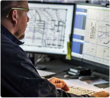
Work from anywhere with web & cloud access
Keep your projects moving wherever you are. Access Civil 3D drawings through Autodesk Docs and collaborate with teams in real time. Review, edit, and share design files securely — on-site or in the office.

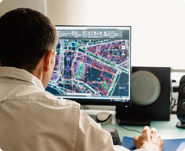
Automate and streamline design tasks
Civil 3D automates repetitive workflows like corridor modeling, grading, and pipe networks. Maintain design intent with dynamic updates that cut down on manual edits and rework, saving valuable time.

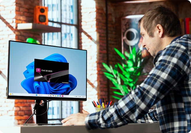
Customize and Extend Your Civil 3D Workflows
Tailor Civil 3D to your project needs. Use specialized toolsets, scripts, and add-ons to boost productivity. Connect with Autodesk solutions and third-party plugins for a fully integrated civil design environment.
- Local Experts. Trusted Support.
Why Choose GeoShack for Civil 3D?

- Local Experts. Trusted Support.
Why Choose GeoShack for Civil 3D?
When you partner with GeoShack, you get more than just Civil 3D — you gain a team dedicated to your project’s success.
Our experts provide personalized setup, training, and technical support tailored to civil infrastructure needs. With local presence and industry knowledge, we help you get the most from your Autodesk tools, ensuring your workflows stay efficient, your teams stay productive, and your projects stay on track.
- Ready to Elevate Your Civil Designs?
Start Your Civil 3D Journey
with GeoShack
- Ready to Elevate Your Civil Designs?