Description
It is no mystery drainage has one of the greatest impacts on yield. AGForm-3D optimizes drainage while moving the least soil possible, reducing inputs and retaining maximum fertility. It sets a proper foundation for all other precision technology to thrive.
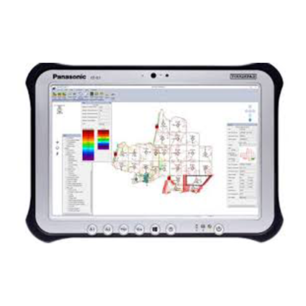
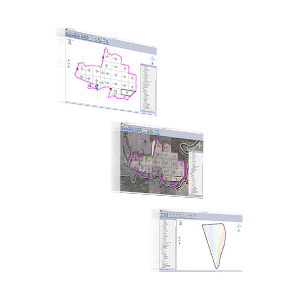
AGForm-3D is an easy and intuitive solution for improving surface drainage and irrigation efficiency. It offers state-of-the-art surveying (coupled with a Topcon mobile base, such as the HiPer V or GR-5) and design in a single program, producing single, dual or variable-slope patterns to ensure optimal drainage.
Designs are directly imported to guide your Topcon GNSS land forming solution mounted in a single or dual scraper configuration. AGForm-3D enables independence and with no per-acre fees, it’s an investment that generates value immediately.
Features include:
Field design in single or multiple sections
Unique and powerful non-planar design capability
Handy tools to calculate distance, slope and volume


