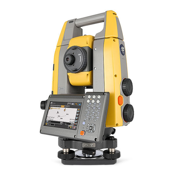


Description
Why Choose Civil 3D?
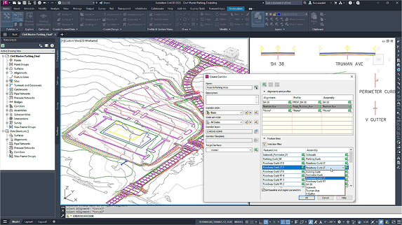
TBuilt for Civil Professionals
Designed specifically for civil engineers, Civil 3D supports road design, site development, storm and sanitary networks, and more.
Dynamic, Model-Based Design
Design elements stay connected and automatically update as projects evolve, reducing rework and improving accuracy.
Smarter Grading and Corridors
Use parametric tools to model grading, corridors, and surfaces—saving time and improving design quality.
Collaborate with Confidence
Work across teams using Autodesk Docs and BIM Collaborate Pro for real-time updates, version control, and coordination.
Flexible, Scalable Workflows
Whether working from the field or office, access Civil 3D data via cloud tools and stay connected from anywhere.
Key Features
• Dynamic Corridor Modeling
• Grading Optimization Tools
• Storm & Sanitary Pipe Network Design
• Surface Modeling and Earthworks Analysis
• Parcel and Alignment Tools
• Quantity Takeoff and Volume Calculations
• GIS Integration and Geolocation
• Autodesk Docs and Cloud Collaboration
Key Applications
• Road and Highway Design
• Site Development and Subdivision Planning
• Stormwater and Utility Network Layouts
• Earthworks and Grading Plans
• Civil Infrastructure Documentation
• Coordination with Survey, GIS, and BIM
Key Benefits
• Reduce rework with dynamic, data-connected design
• Automate grading, labeling, and corridor generation
• Speed up design changes with intelligent modeling tools
• Ensure precision across topography and utility layouts
• Share and manage data securely in the cloud
• Improve team coordination with real-time collaboration
• Deliver accurate documentation with fewer manual steps