


Description
Why Choose the Topcon CR-H1?
High-Accuracy, RTK-Level Capture
Achieve centimeter-level results with built-in RTK corrections for reliable, precise geospatial data.
Lightweight & Ergonomic Design
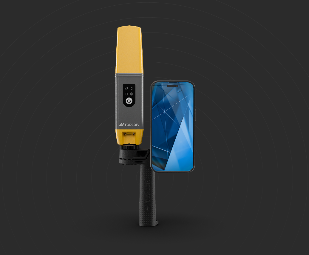
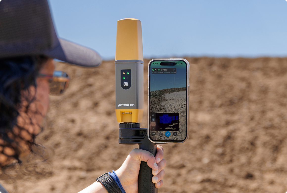
Weighing just 650 g, the CR-H1 is easy to carry and operate all day with a balanced handheld grip.
Seamless iPhone Integration
Pair with iPhone Pro or Pro Max for 48 MP imagery and real-time AR visualization.
Instant Cloud Processing
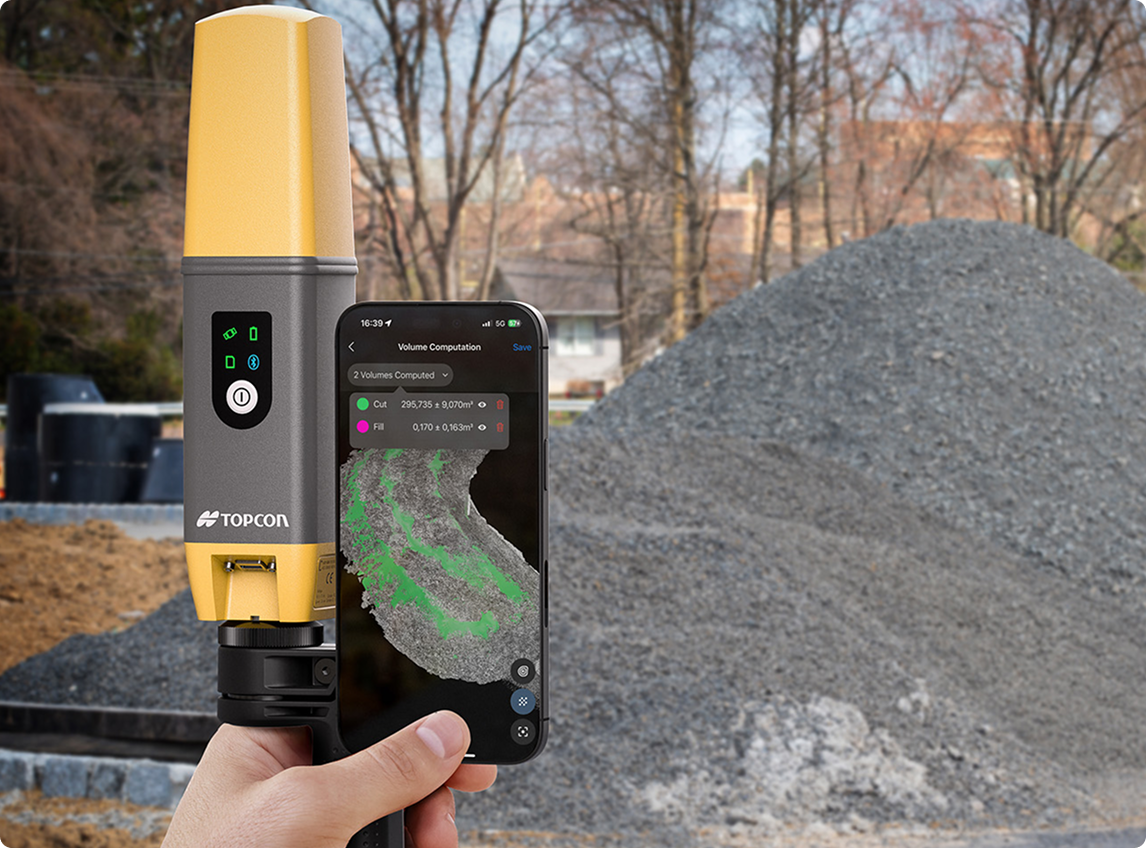
Upload scans directly to PIX4Dcloud for fast, automated processing and sharing.
Flexible Setup Options
Use handheld for mobility or mount on a GNSS pole for pinpoint single-point measurements.
GeoShack Support Advantage
Backed by local service teams and decades of precision technology expertise.
Key Features
• Centimeter-level RTK precision (10 mm + 0.8 ppm H / 15 mm + 1 ppm V)
• Lightweight 650 g handheld design
• 48 MP iPhone Pro / Pro Max camera integration
• Real-time correction with Topnet Live or third-party services
• PIX4Dcatch + PIX4Dcloud workflow for capture and processing
• Right- and left-hand compatible ergonomic handle
• Compatible with SP CONNECT™ phone mount system
• Optional GNSS pole mount for added precision
Key Applications
• Construction progress & as-built verification
• Building design & renovation documentation
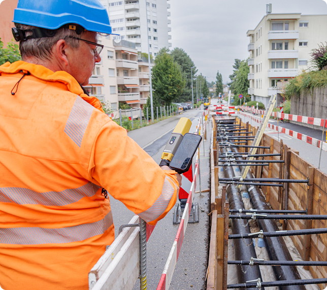
• Utility mapping & excavation planning
• Infrastructure & roadway modeling
• BIM coordination & clash detection
• Heritage & site preservation projects
Key Benefits
• Capture accurate 3D data faster with fewer setups
• Simplify field-to-cloud workflows
• Reduce rework with real-time verification
• Improve team collaboration with cloud sharing
• Minimize equipment complexity and training time
• Supported by GeoShack’s local experts and training network