

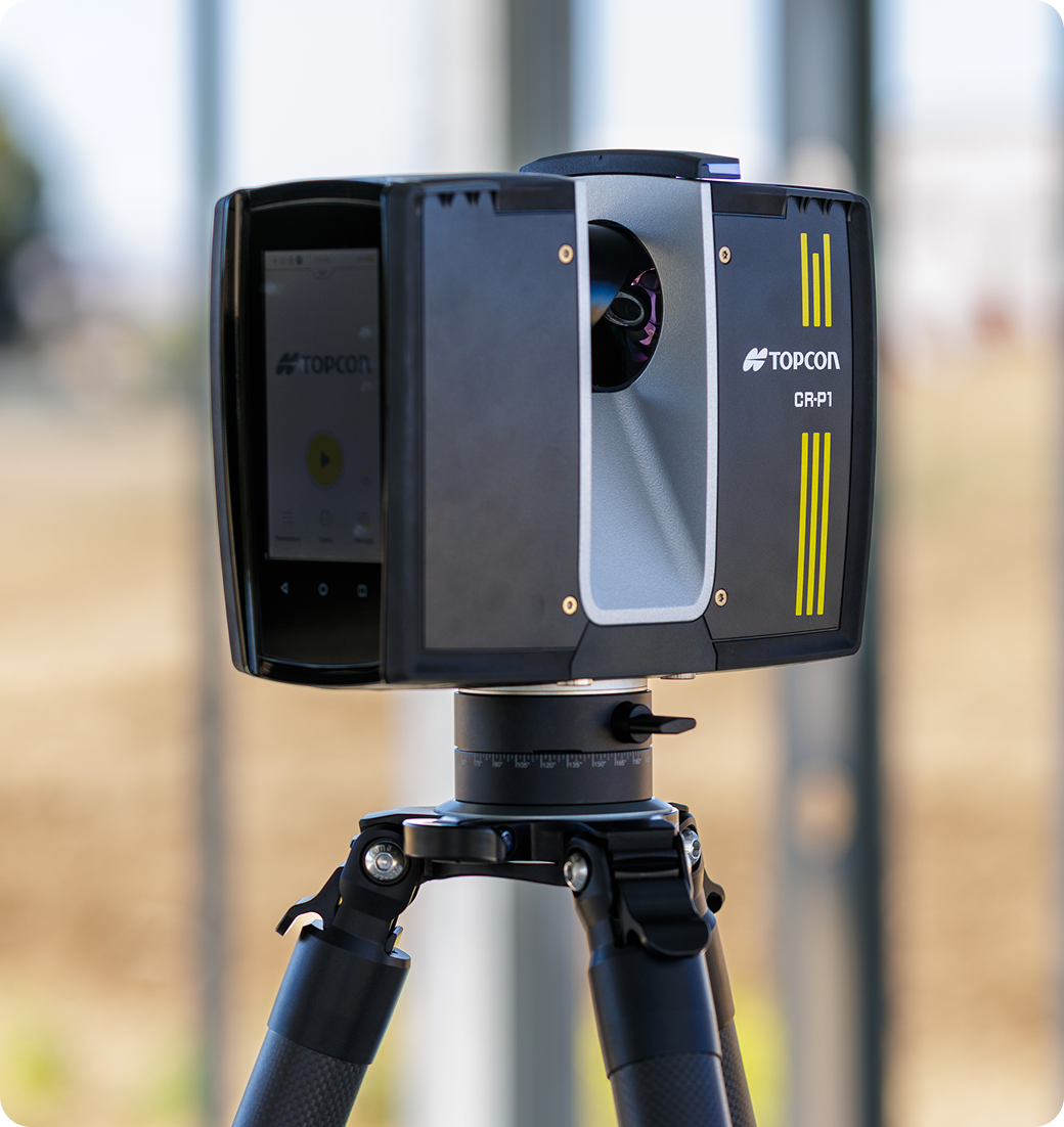
Description
Why Choose the Topcon CR-P1 Laser Scanner?
High-Speed, High-Accuracy Scanning
Captures up to 2 million points per second with 2 mm accuracy @ 10 m for dense, reliable data.
Lightweight & Rugged Design
Weighs just 4.4 kg with an IP54 rating for durability in tough field conditions.
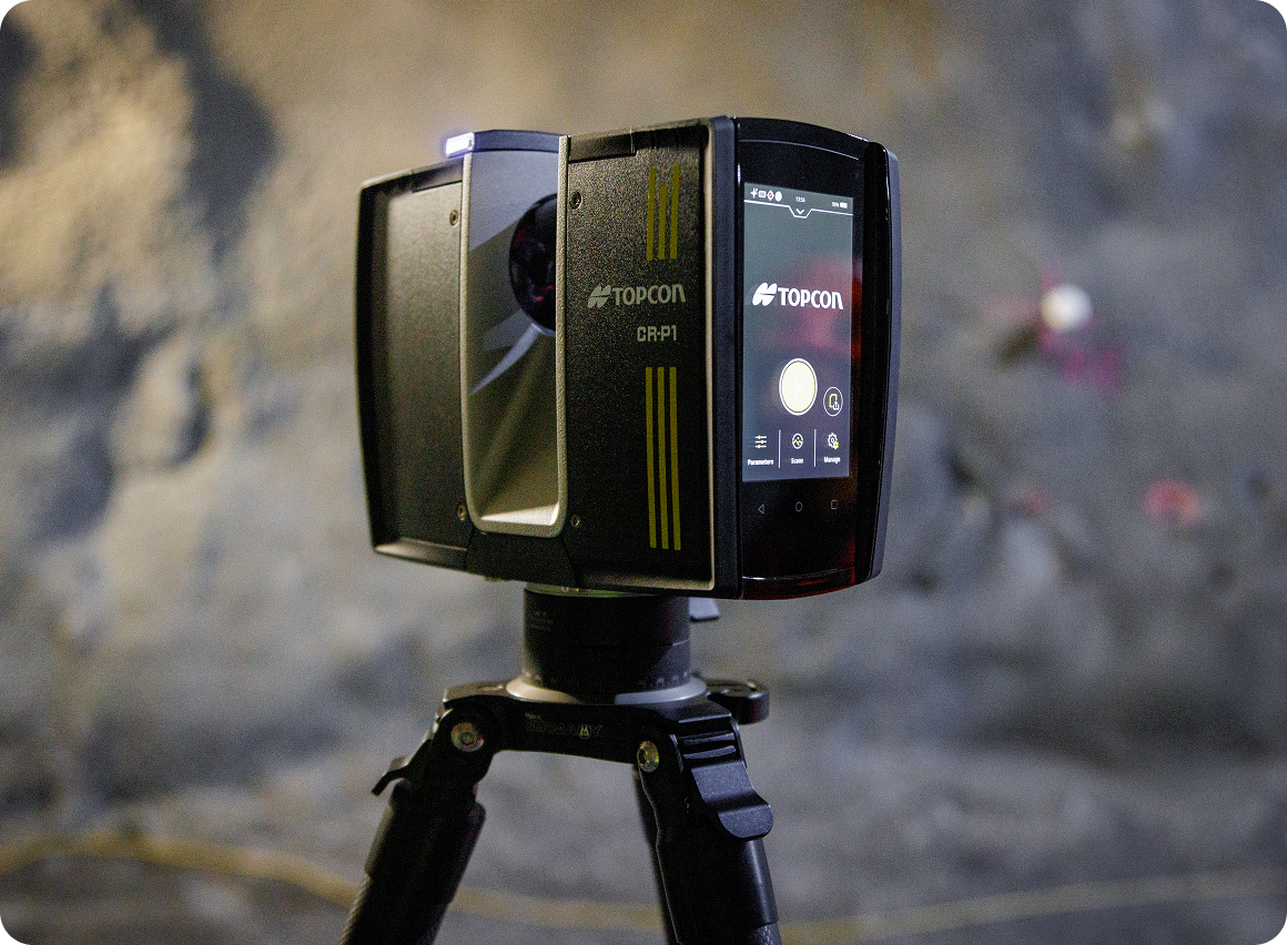
Simple Operation
Touchscreen control and automated workflows make scanning intuitive for any user.
Real-Time Data Processing
View and register scans on-site with Collage Site to save hours of post-processing.
Seamless Workflow Integration
Connects to Topcon software and third-party CAD/BIM platforms for efficient data transfer.
GeoShack Support Advantage
Backed by local service teams and decades of precision technology expertise.
Key Features
• 2 million points per second capture speed
• 2 mm accuracy @ 10 m; ±1 mm distance error
• 360° × 300° field of view for full coverage
• Dual-axis compensation for automatic leveling
• HDR 13 MP camera for true-color data capture
• Real-time on-site registration in Collage Site
• Wireless connectivity and cloud data sharing
• 4 hours battery life with quick swap options
• Compact form factor (230 × 183 × 103 mm, 4.4 kg)
• 2-year manufacturer warranty
Key Applications
• Construction progress and as-built verification
• Building design and renovation projects
• BIM coordination and clash detection
• Infrastructure and roadway scanning
• Industrial facility and plant mapping
• Heritage and architectural preservation
Key Benefits
• Capture accurate 3D data faster and with fewer setups
• Reduce rework and post-processing time
• Improve team collaboration with instant data sharing
• Minimize downtime through rugged reliability
• Achieve greater precision across every project
• Supported by GeoShack’s local experts and training