


Description
Why Choose Topcon CR-S1?
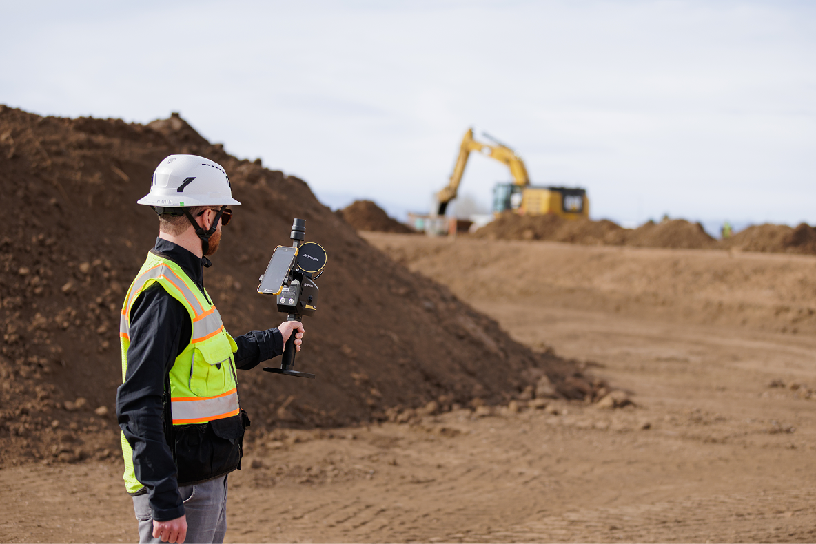
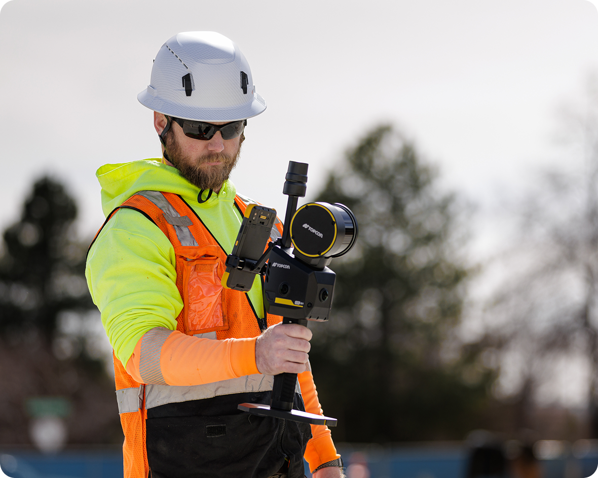
Portable Reality Capture
Capture detailed 3D data while moving through the site without repeated scanner setups.
Advanced Multi-Sensor Fusion
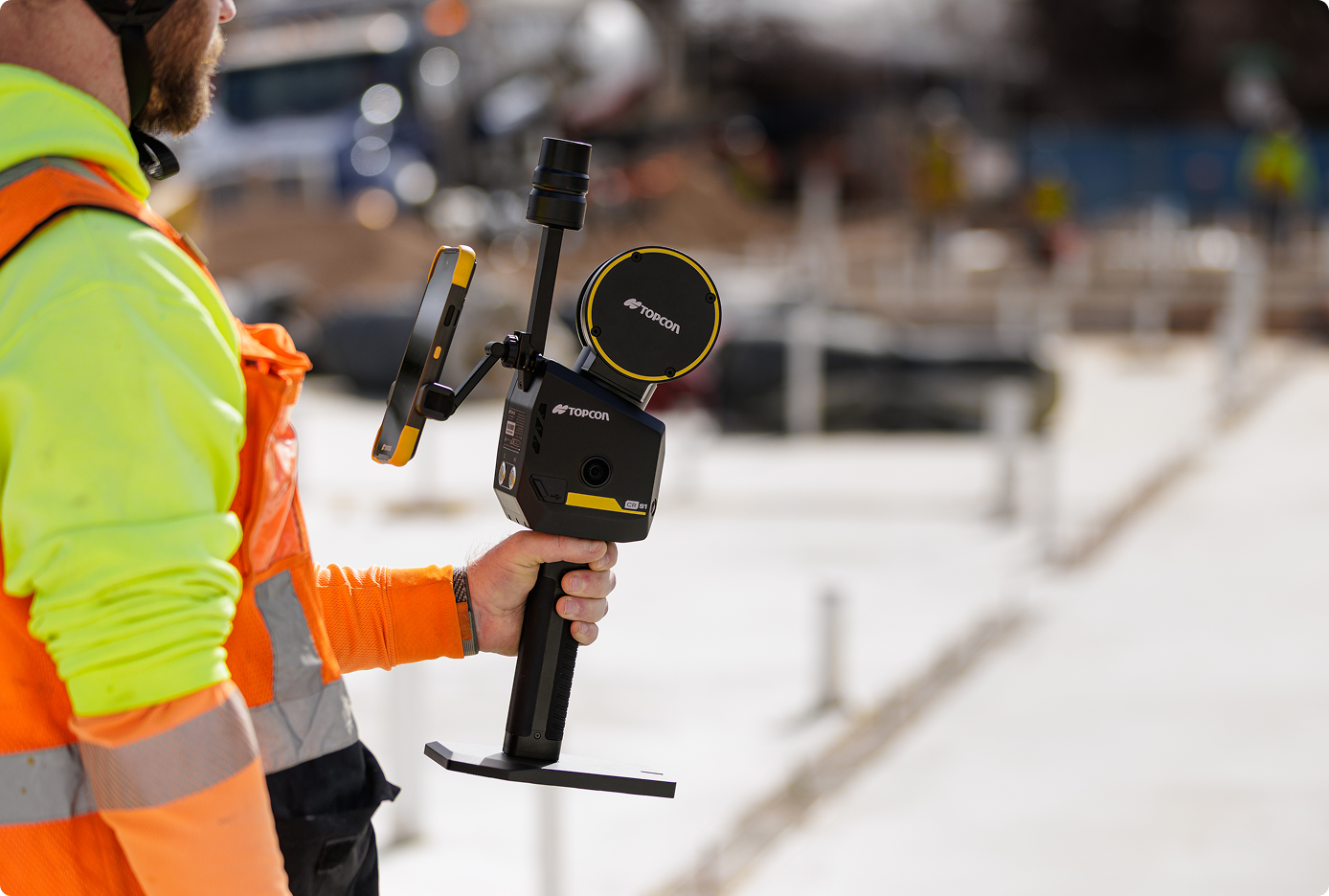
Combines LiDAR, visual SLAM, IMU, RTK-SLAM, and GNSS positioning for stable data capture.
Centimeter-Level Accuracy
Achieve reliable positioning and detailed spatial data across demanding environments.
Real-Time Data Preview
View colorized point clouds during capture to confirm coverage before leaving the site.
Extended Scanning Range
Capture surrounding geometry and distant features with a detection range of up to 120 m.
Connected Topcon Workflow
Move efficiently from field collection to processing, measurement, and final deliverables.
Key Features
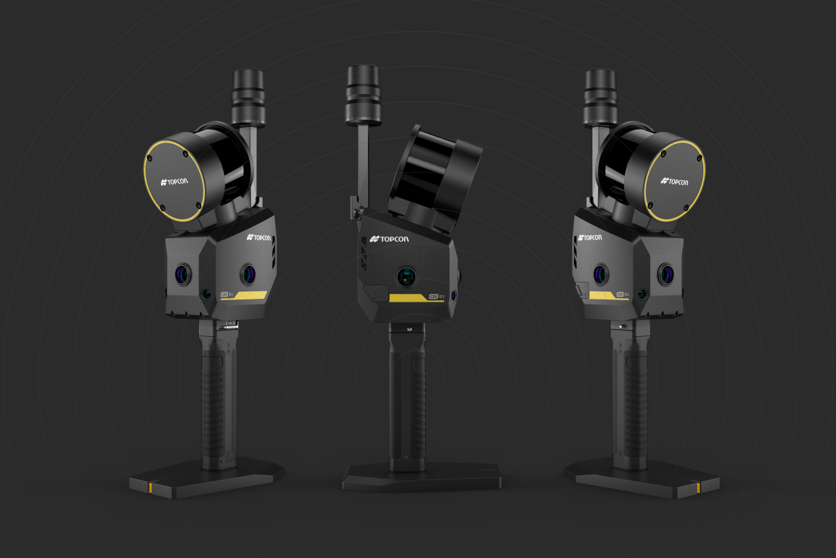
• XT16 LiDAR sensor
• Up to 320,000 points per second
• Up to 120 m (393.7 ft) detection range
• 0.5 cm LiDAR accuracy
• <3 cm absolute accuracy
• <1 cm relative accuracy
• MLF-SLAM, RTK-SLAM, PPK-SLAM, and SLAM mapping
• Integrated RTK GNSS positioning
• 5 integrated cameras
• Three 12 MP panoramic cameras
• Two visual SLAM cameras
• 200 Hz IMU
• Real-time point-cloud processing
• Real-time colorization
• 512 GB SSD storage
• Quick-swappable lithium battery
• Approx. 2.2 kg (4.85 lbs) system weight
• IP64 protection
• USB-C connectivity
• App and button control
• OTA and offline firmware updates
Key Applications
• Construction site documentation
• Topographic surveying
• Geospatial data capture
• Progress monitoring
• Utility mapping
• Infrastructure surveying
• Volume calculations
• Building and indoor scanning
• Tunnel surveying
• Underground data capture
• Mining environments
• Forestry and challenging terrain
• GNSS-restricted environments
• Complex urban sites
Key Benefits
• Capture 3D data while moving through the site
• Reduce time spent on repeated scanner setups
• Cover large and complex environments efficiently
• Maintain positioning where GNSS signals are limited
• Review captured data directly in the field
• Reduce missed areas and unnecessary return visits
• Create dense, colorized point clouds
• Support accurate measurement and documentation workflows
• Operate with a compact, one-person system
• Move smoothly from field capture to office processing
• Work across indoor and outdoor environments
• Integrate with Topcon reality-capture software
Available Field Configurations
• Handheld operation
• Telescopic pole adapter
• Frontpack kit
• Backpack kit
• Quick-swappable battery workflow
• Backpack hot-swap support