Description
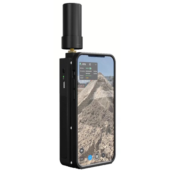
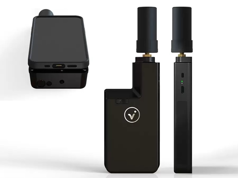
Pix4D ViDoc RTK Rover
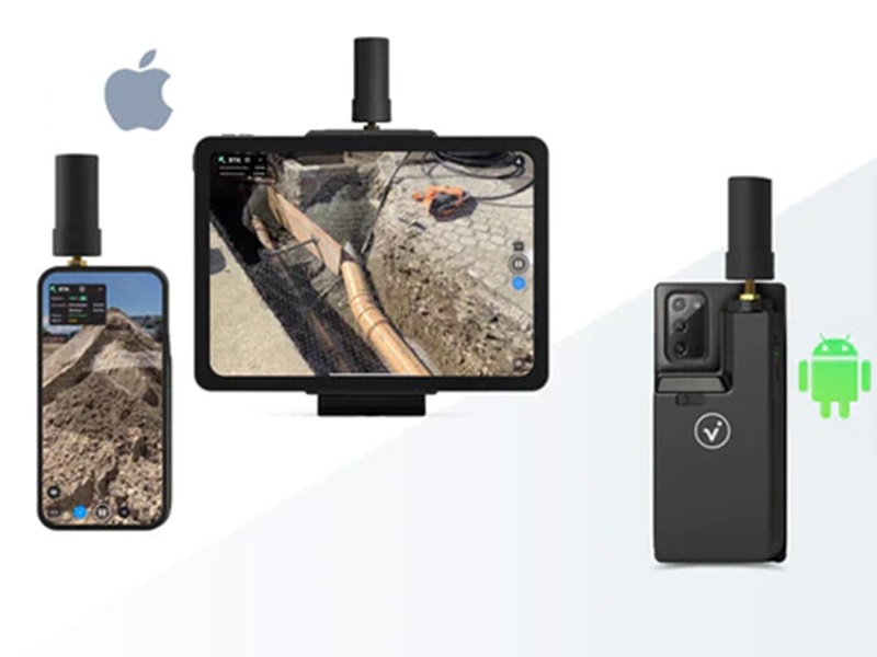
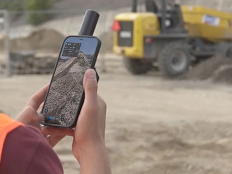
Elevate 3D scanning with the power of RTK and Lidar on a mobile device. Smartphones equipped with a lidar camera and the RTK Rover feed data to the Pix4D Catch app on the phone. Get RTK measurements using a GNSS Network, or turn on the lidar and scan as you move to get a 3D point cloud all referenced off the GPS. Just walk around your area of interest to acquire high-precision positional data and individual images.
Capture
Once set up just push one button and your scanning. There is little to no training… anybody can do it.
Upload
Stop recording and automatically upload the captured images to PIX4Dcloud to generate accurate and easy-to-share 3D models, or export your files to Pix4Dmatic to process them yourself and finish them in Pix4Dsurvey software.
Pix4D Cloud
Measure distances, areas, and volumes around the model and perform virtual inspections right in the field, or on your computer.
Share/Export
Selectively and securely share project data and insights with your team, clients, subs, or customers. Mark your assets on PIX4Dsurvey as vectors in the point cloud and export them as DXF (for CAD) or SHP (for GIS).
Photogrammetry
If our phone or device does not have a lidar camera, don’t worry. The system can work with most cameras using photogrammetry. This system works extremely well just less accurately than the lidar.
The AEC Bundle
Bundle your order and save big! The AEC Bundle comes with the RTK unit, GNSS antenna, charger, and carry case along with Pix4dcatch, cloud, matic, and survey software.

