
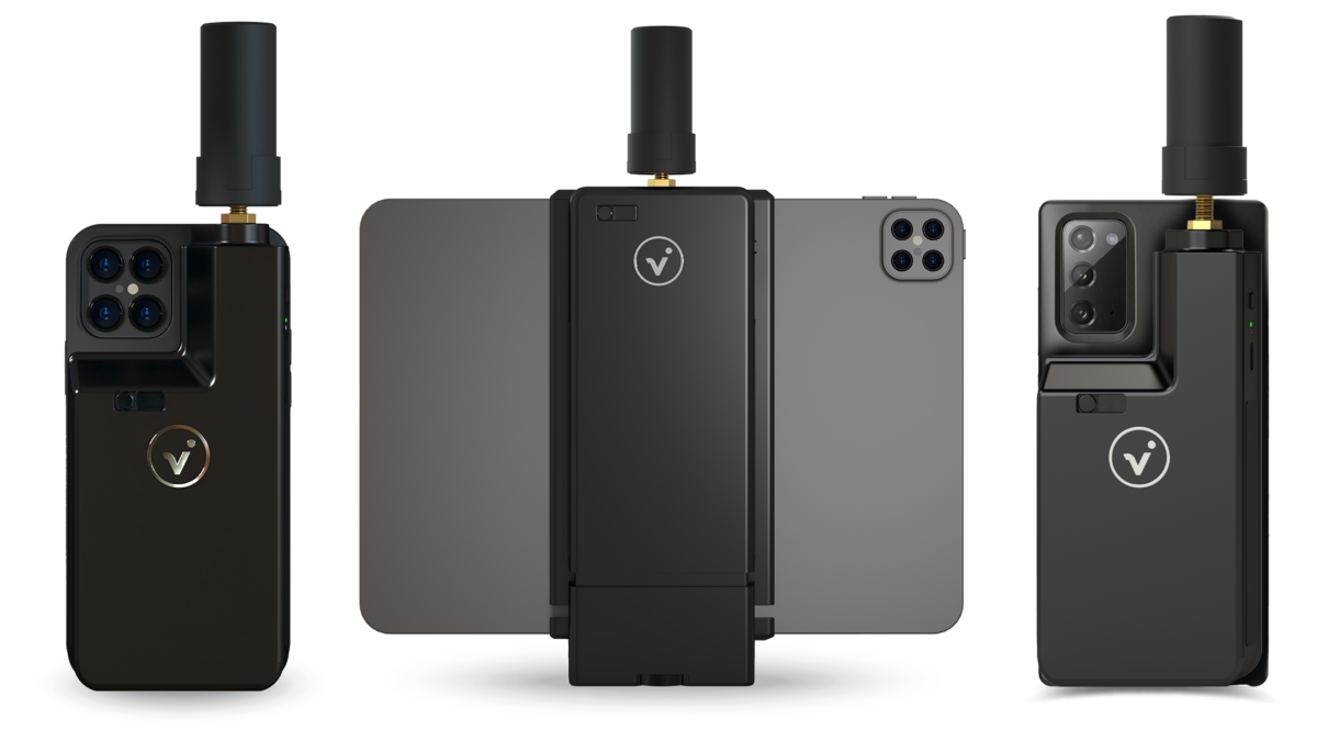
viDoc RTK rover for selected iPhone and Android devices
The future of single point measurement with 3D scanning
Multiple options for accurate point measurement
Measure with the laser, photogrammetry, or attach it to a surveying rod.

Measure obstructed points
Complete data collection without missing anything that may be obstructed by objects like trees or overhangs.
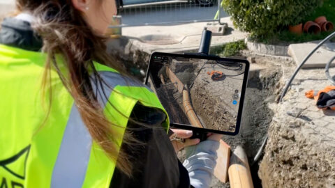
Accurate and safe measurement methods
Get your measurements and reduce risks – cut unnecessary trench visits, etc. Make data collection safer.

viDoc is an RTK device that connects to select mobile devices. When paired with PIX4Dcatch via Bluetooth, it brings centimeter accuracy to terrestrial 3D scans captured with mobile devices. It can also be used for single point measurement.

PIX4Dmatic optimizes fast processing for terrestrial workflows with data collected with the viDoc RTK rover, drones, or mobile devices (including iOS LiDAR). Combine terrestrial data with aerial data to get a complete picture of a site.

Import point clouds into PIX4Dsurvey for fast ground extraction, creation of breaklines, and TIN surfaces. Analyze and measure all elements of your site from terrain and street-level facilities to buildings. Get 3D exports for CAD or GIS.

Share your projects and track site progress online with PIX4Dcloud Advanced, and easily process images from the free PIX4Dcatch mobile app.
Integrate Your ViDoc Data With Drone Data