



Description
Why Choose Navisworks?
Built for Coordination and Simulation
Navisworks is purpose-built for construction professionals, providing a single source of truth for design collaboration, issue detection, and project visualization.
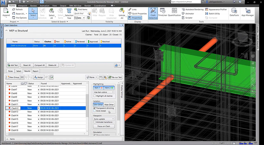
Clash Detection You Can Count On
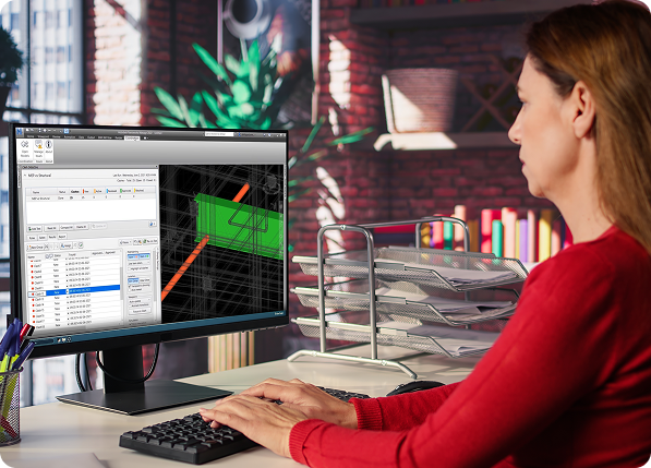
Identify and resolve clashes across architectural, structural, and MEP systems before construction begins—reducing costly rework and delays.
Model Aggregation from Any Source
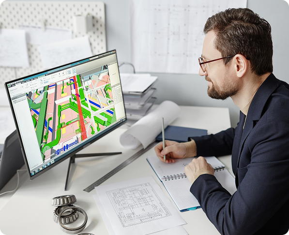
Combine files from Revit, AutoCAD, Civil 3D, IFC, and more into one federated model. Navisworks supports over 60 file formats.
4D Construction Sequencing
Simulate construction with linked schedules to visualize how the project will be built over time—ideal for planning and stakeholder presentations.
Cloud-Connected Workflows
Seamlessly integrate with Autodesk Construction Cloud to share models, track issues, and collaborate securely from anywhere.
Key Features
• Clash Detection and Issue Management
• Model Aggregation from 60+ File Types
• 4D Timelining and Construction Simulation
• Quantity Takeoff and Material Estimation
• Review, Markup, and Measurement Tools
• Integration with Primavera and MS Project
• Autodesk Construction Cloud Compatibility
• High-Performance Navigation for Large Models
Key Applications
• Multi-Discipline BIM Model Coordination
• Clash and Interference Detection
• Construction Planning and Visualization
• 4D Sequencing and Site Logistics
• Quantity Takeoff and Cost Estimation
• Field Communication and Model Review
• Cloud-Based Project Collaboration
Key Benefits
• Prevent construction delays with early clash detection
• Improve communication with real-time model reviews and markup
• Visualize construction phasing with 4D animation
• Connect data from various design tools into one model
• Reduce manual coordination and file merging
• Enable remote collaboration with cloud access
• Speed up estimation with integrated quantification tools
• Deliver more predictable project outcomes